This is a paid asset, but now you can download it totally free. However, please keep in mind that this package is only provided for studying or testing the product prior to purchasing it, not for business functions.
Overview :
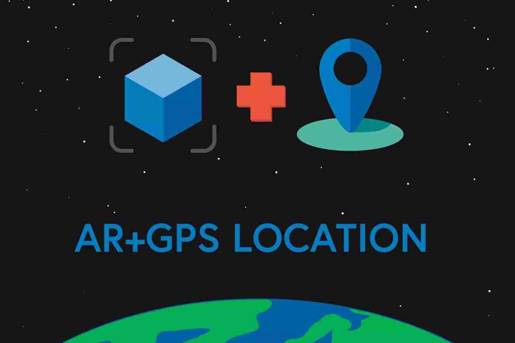
It supports both Untiy’s AR Foundation and Vuforia. It works by mixing both GPS data and the AR tracking done by the AR Foundation, or Vuforia.
The Unity AR+GPS Location asset gives users the ability to position 3D objects in real-world geographical locations via their GPS coordinates using Unity and Augmented Reality.
Highlights:
- Routes and Navigation: AR navigation powered by the Mapbox Directions API!
- Navigate in AR using routes built by the Mapbox Directions API.
- Create custom, hand-made routes for places not mapped by Mapbox.
- 3D Signs, arrows, and line renderings to guide the user throughout the route
- Completely customizable experience.
- A Full sample project using the Mapbox SDK to display a 2D map alongside the AR view
- Place 3D Objects in geographical positions defined by their latitude, longitude, and altitude.
- AR Hotspots that are activated when the user is near a given location
- Place 3D Text markers on real-world points of interest (example using OpenStreetMaps is included).
- Smooth movements on device location and heading updates
- Move objects or place them along paths (Catmull-rom splines) on the map.
- Augmented reality floor shadows
- General purpose Catmull-rom curves and splines
Minimum Requirements:
- AR Foundation 4.x or 5.x, or Vuforia 10 or newer.
- For AR Foundation, an iOS device with ARKit support or an Android device with ARCore support (see the AR Core device list here)
- For Vuforia, a device with ground plane support (see the list of devices here)
- The device must have functioning magnetic and GPS sensors.
- For better performance, a working gyroscope is also recommended
Limitations:
- Altitude information is usually very imprecise, so, currently, it’s best to use heights relative to the device position or relative to detected ground planes.
- Landscape mode does not work well on many Android devices due to a problem with tilt compensation on the magnetic sensor data.
- There are limits due to the GPS’s precision. So, in good conditions, precision can range from 2 to 5 meters, and in bad conditions, from 10 to 20 meters.
- Does not work well indoors.